Here are some books specifically devoted to Python and GIS that might also be of interest:
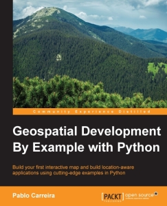
 Geospatial Development By Example with Python - From Python programming good practices to the advanced use of analysis packages, this book teaches you how to write applications that will perform complex geoprocessing tasks that can be replicated and reused.
 Geoprocessing with Python - Geoprocessing with Python teaches you how to use the Python programming language along with free and open source tools to read, write, and process geospatial data.
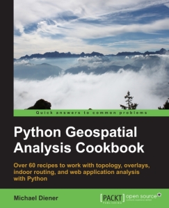
  Python Geospatial Analysis Cookbook - Over 60 recipes to work with topology, overlays, indoor routing, and web application analysis with Python.
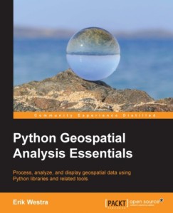
 “Python Geospatial Analysis Essentials” - Process, analyze, and display geospatial data using Python libraries and related tools
 “Python Geospatial Development Essentials” - Utilize Python with open source libraries to build a lightweight, portable, and customizable GIS desktop application.
  “Learning Geospatial Analysis with Python” - If you know Python and would like to use it for Geospatial Analysis this book is exactly what you've been looking for. With an organized, user-friendly approach it covers all the bases to give you the necessary skills and know-how.
 “Python Geospatial Development” - Build your own complete and sophisticated mapping applications in Python.
Walks you through the process of building your own online system for viewing and editing geospatial data.
Practical, hands-on tutorial that teaches you all about geospatial development in Python
Leave a comment